
Bahia de Los Angeles

After the longer jumps from Santa Rosalia and San Francisquito, we were happy to have a quick hop from Don Juan to Bahia de Los Angeles, the first little town north of Santa Rosalía, and only about six and half nautical miles, or a little less than an hour, away.
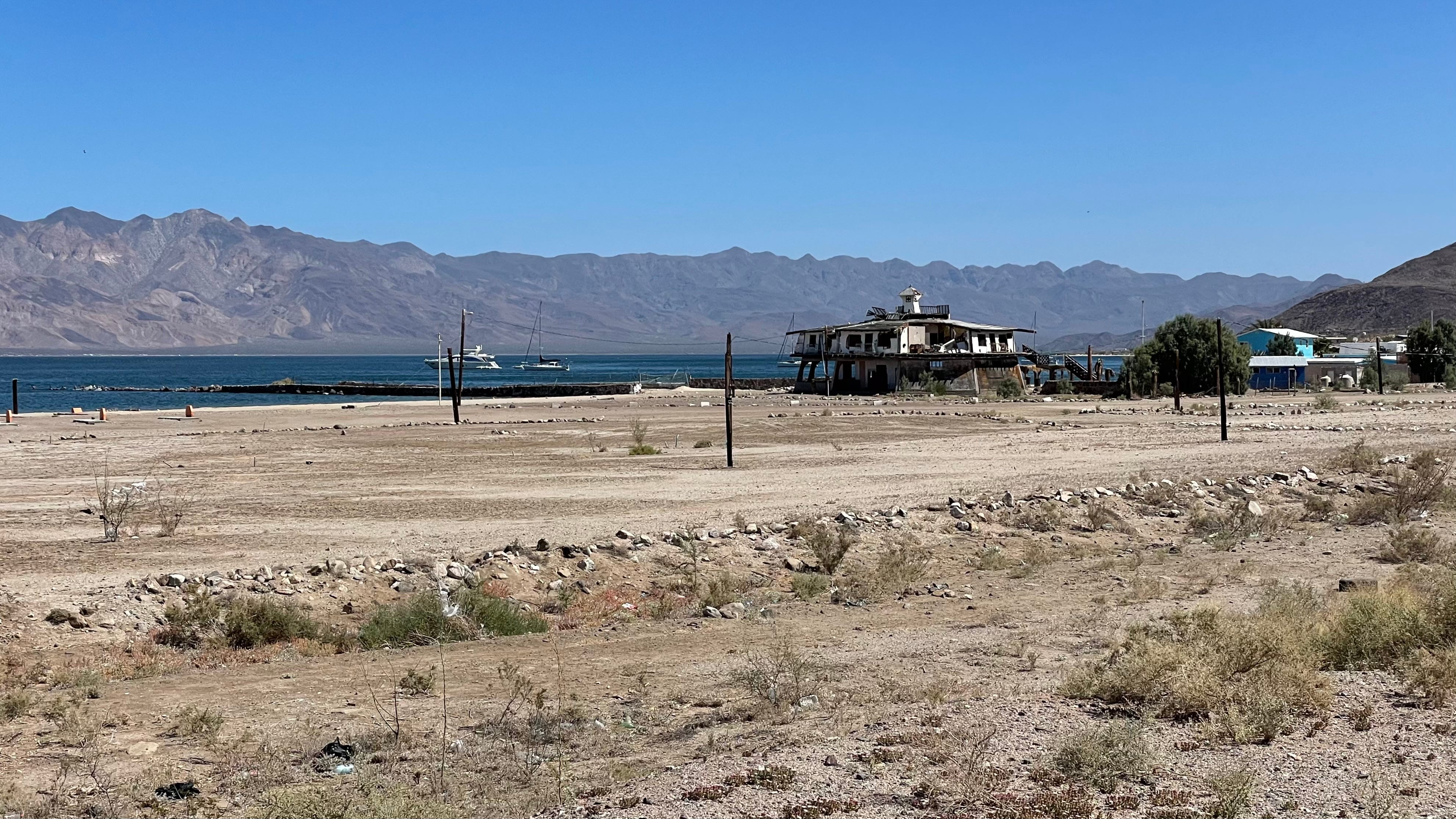
Our first stop was the eponymous village of Bahia de Los Angeles. It’s a small beach town, with long avenues running down the coast, and cross streets only a few blocks long. It’s a sleepy town, and when we arrived, dinghies to the shore, and walked up to the only restaurant on the beach near where we landed, there was a single party sitting at a table outside, and all the other tables were empty.
We sat down and everyone ordered tacos of one sort or another. I like crispy tacos. Crispy tacos of the sort most familiar in the United States aren’t a common option in Mexico, and as far as I can tell, don’t have a common name. You can order tacos crujiente, literally “crispy” tacos, but these may come out in various ways, either with the meat fried, or as tacos dorados. Literally “golden tacos,” these are taco-sized tortillas wrapped tightly around the meaty component, then deep-fried, earning the “golden” moniker. Two or three are laid on a plate, then the veggie component of the taco is sprinkled across, with cheese across the top. Tacos dorados are fairly common, but they require a knife and fork to eat, and so don’t quite hit the mark for me. Sometimes, being specific helps, and I’ll ask for tacos with fried tortillas, but this doesn’t always work either.
After lunch, Scott (from Fundango) and I walked into town, looking for a place to get a few fuel jugs filled. Being in a remote area without a fuel dock, and planning to head all the way across the Sea of Cortez to the mainland before seeing another one, we all wanted to ensure we would have enough fuel in case of need. With a set of sketchy directions from another cruiser who returned with full jugs, we set off down the road. Roads are longer in the heat, though, and after walking for quite a while, we decided to head back to get the rest of the crew. Once everyone was in motion, we started down the road again, and as we walked along, a pickup headed in our direction stopped and offered us a ride. We all climbed in, and our benefactor dropped the ladies off at the grocery store on the way to do some provisioning, while the men all went to the gas station to fill our jugs. Once we were full, he drove us back to the grocery to pick up the women, and then returned us to our starting point.
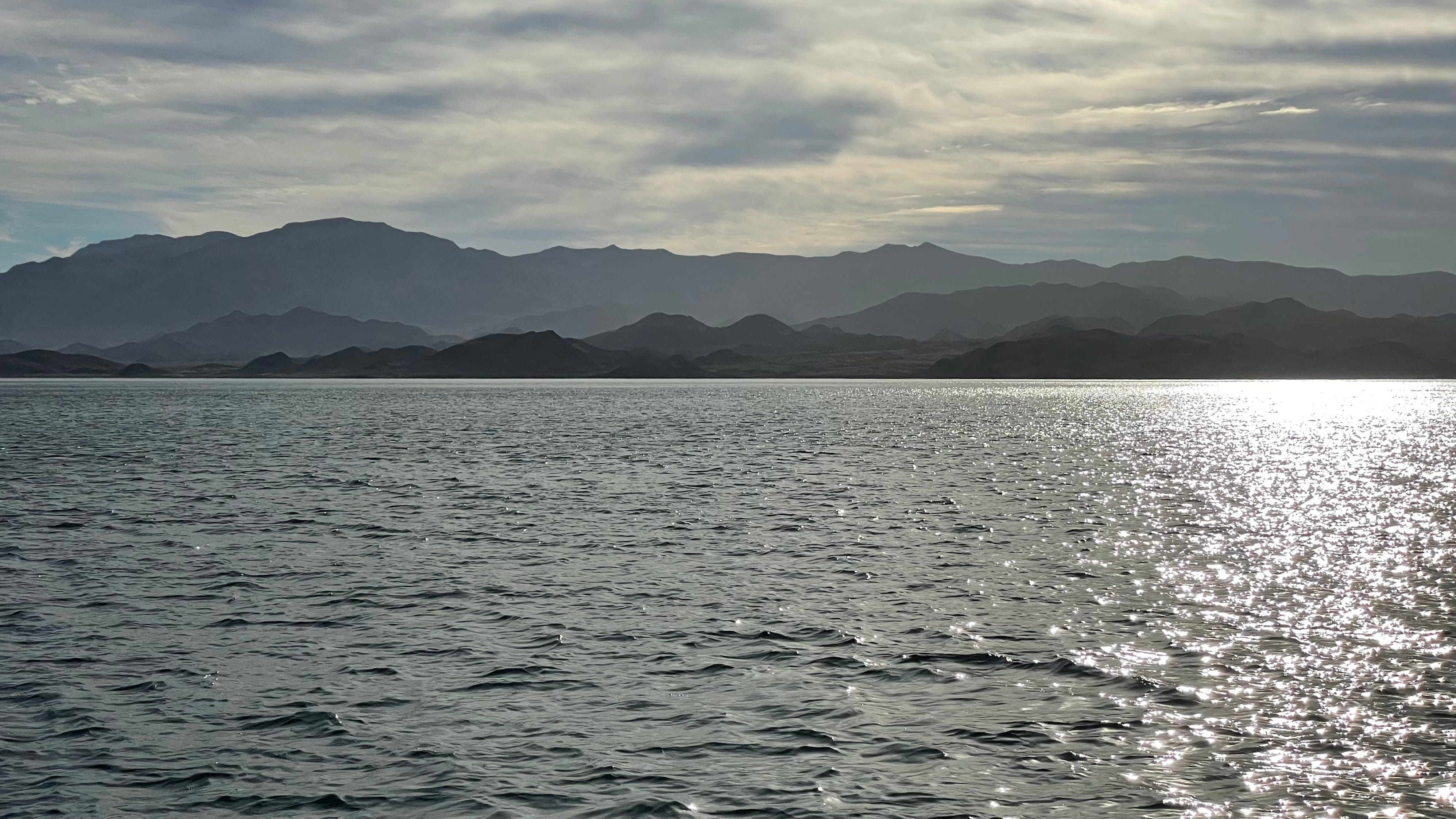
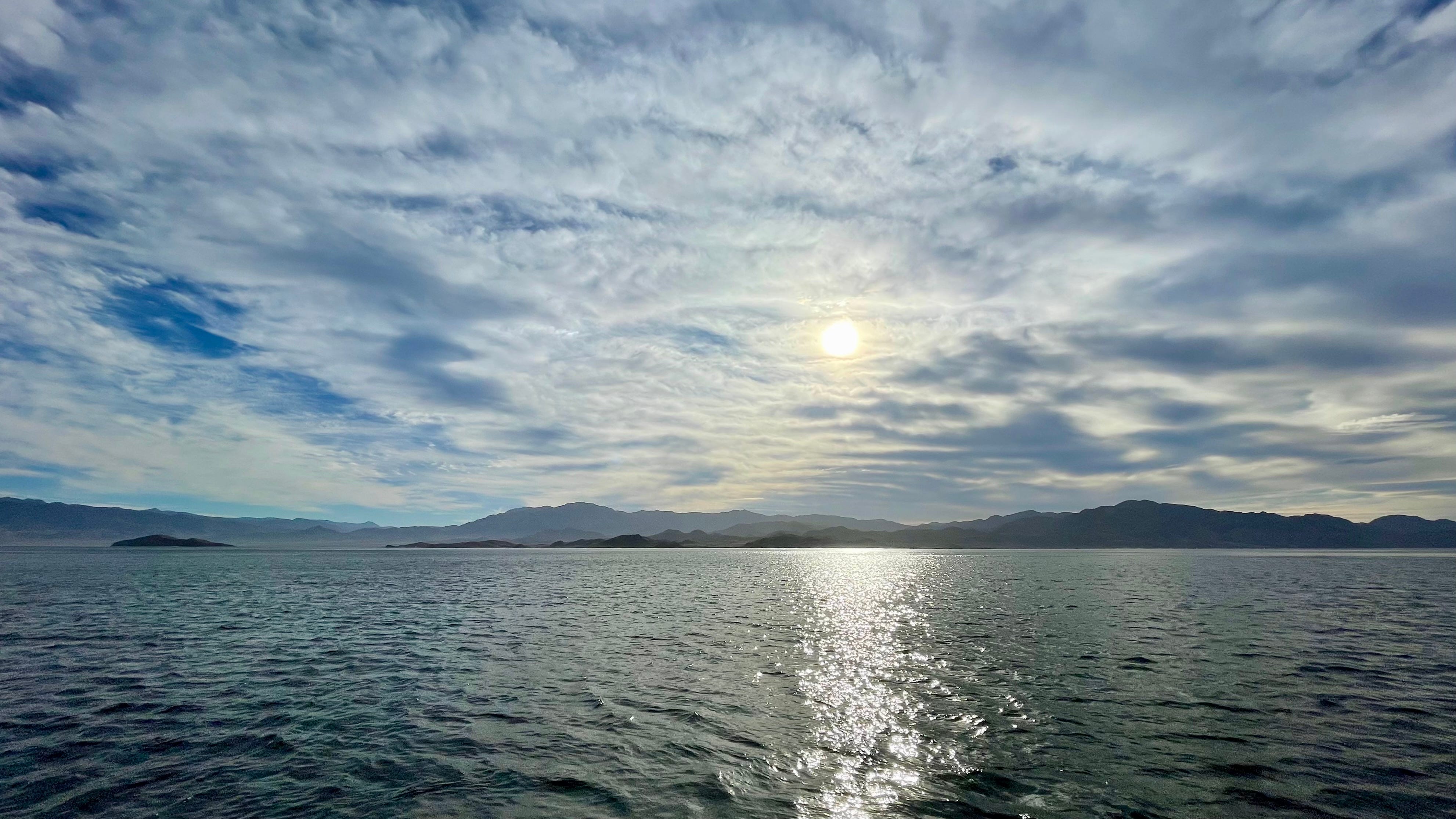
Once we got the fuel jugs back the boats, and everyone got settled, it was off to the next anchorage for the evening, La Gringa. Heading north out of the village to La Gringa requires passing to the east of a small peninsula. We all left the anchorage, and motored around the peninsula, heading north as we cleared the headlands. Autopilot engaged, while Donna was on watch, I went below to double-check the charts, since they’re not always accurate in this area. The charts showed some shallower water to the east of the peninsula, but without any depths. As I was looking and contemplating this information, Donna called down from the companionway, alarmed at the rapidly shallowing depth-sounder graph. I popped up on deck and immediately changed course for deeper water. We both felt lucky to have missed hitting bottom, as the depth-sounder had dropped to about eight feet, and we draw seven and a half.
Anchoring at La Gringa was a little tricky. The bottom sloped more deeply on the end of the playa that we chose, mainly due to being a bit further away from the loud van campers on the beach. When the bottom slopes sharply, it can make anchoring a little trickier, since the slope of the bottom effectively increases the angle between your chain and the bottom, which reduces the effectiveness of the anchor. Add to that, the fact that any slippage pulls the anchor into deeper water, again increasing that critical angle, and you’ve got to get it right at the first drop.
At least we knew we were in the right place, as someone arranged rocks on the hillside to read “Welcome to La Gringa.” They’re so large, you can see them from space! Check them out in Google Maps.

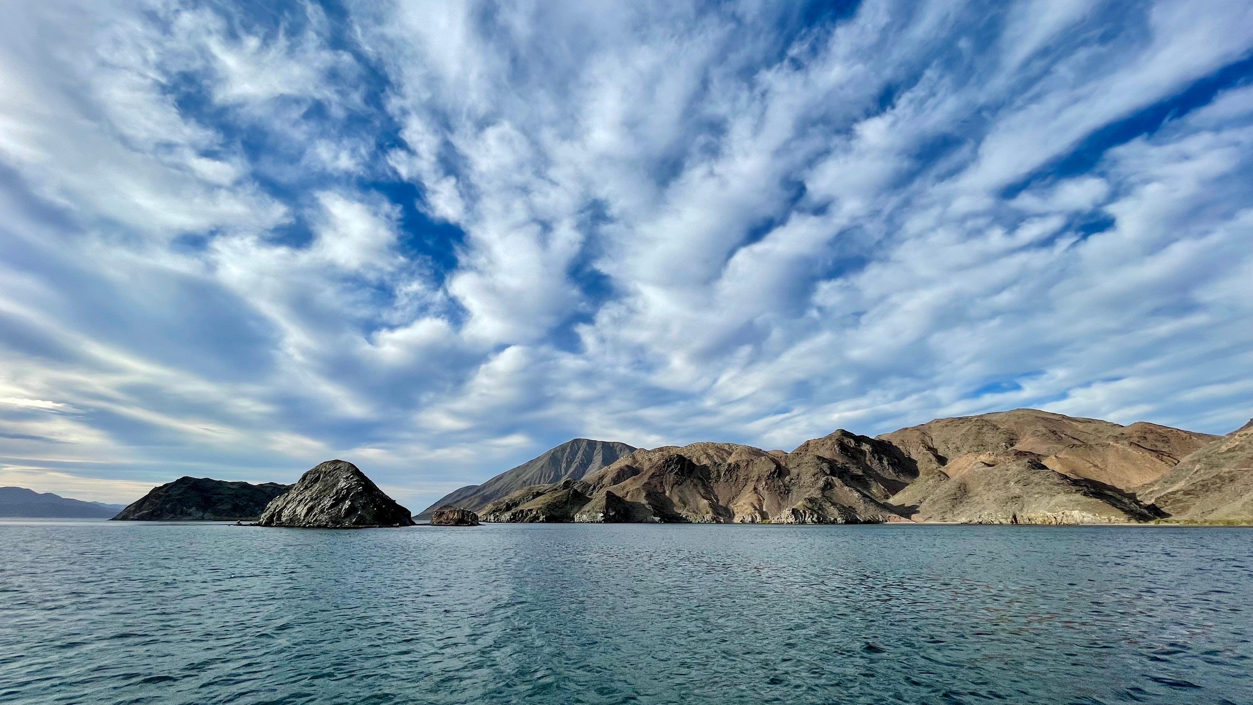
The following morning, we headed north again, to what would be our northernmost stop for this season, on the eastern side of Isla Smith, also know as Isla Coronado. The northern end of the island is a massive cinder cone, known as Volcan Coronado. We anchored in a beautiful anchorage, with partly cloudy skies, and set up to do some snorkeling. Little did we know, we were in for a rude surprise, as the water was extremely cold!
Almost since first entering the Sea of Cortez, we have been wearing our wetsuits. The warmth of a wetsuit is determined by its thickness, and we’ve been wearing 4/3 suits — so called because they’re four millimeters thick in the body and legs, and three in the arms. These are warm suits. For tropical locations, you might wear a two, or a three, and then it might have short arms or even legs. These are the suits you’d wear up in San Francisco where the water is 58º F or 14º C. But the water here was well colder even than that — we would swim holding our hands up out of the water to keep them a little warmer, and shortly our lips, cheeks, and hands were burning with the cold.
The other big surprise was the underwater scenery. In every place we had snorkeled up to here, there was a profusion of soft coral, algae, and other encrustations on the rocks. Here, the rocks were almost completely bare, and sharp, as if the volcano itself had been flaking stone tools, and this was the pile of massive flakes. We motored the dinghy around to a couple of spots to see if maybe we just didn’t find the local flora, and we did find a few fish, some of them familiar from dives further south, but also a number of much more drab fish, likely used to the colder water.
Once we had our fill of the cold water, we rinsed our gear, got together for another group dinner, and prepared to start the trek back south to San Francisquito, our jumping off point for our crossing to the Mexican mainland, still some 140 nautical miles away.
Great shot of Donna. I also love the one that is third from the bottom. Very beautiful. Glad I'm back on the Enchanted Voyage train. Love you two!!